Flyover People Small Towns:
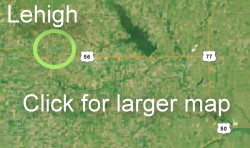
Lehigh, Kansas
 |
 |
| Lehigh, pop. 216, is in Marion County about a mile north of U.S. Highway 56. Hillsboro is about 5 minutes east, Canton about 5 minutes west. A Mennonite cemetery is along the highway. | |
 |
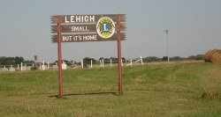
Pete Goering, a columnist for the Topeka Capital Journal, describes his hometown of Lehigh as it was in the '50s and '60s: "It was a typical thriving small town, with a grocery store, a restaurant (with accompanying pool hall that we were forbidden to enter!), two mechanic shops, a Phillips 66 jobber, a co-op and a post office. "Once the school closed in 1966, everything else started closing too. I was a member of the last graduating class of Lehigh Rural High School in '66 (the senior class had 13 members); Lehigh students now attend school in Hillsboro." |
| A brick pillar and the cement slab foundation is all that remains of the Lehigh Rural High School built in 1920. | 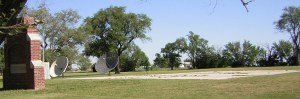 |
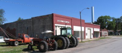 |
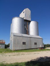
We visited on a Sunday morning and nothing was moving on Main Street. Only a couple of tractors were parked here. |
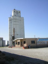
This is a farming community, surrounded by wheat and milo fields. While most Kansas towns were laid out on a north-south axis, Lehigh is askew. Main Street runs southwest to northeast. Even more curious is North Street (a SE-NW street) on the east edge of town and South Street (also a SE-NW street) on the west edge of town. |
 |
Page 1 | Page 2
All Content Copyright 2004 by Cheryl Unruh
Text by Cheryl Unruh | Web Design: Dave Leiker
Photography by Cheryl Unruh & Dave Leiker